|
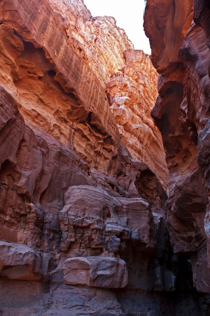 |
| The Khazali Siq | |
| Latitude: N 29°30'55,14" | Longitude: E 35°25'16,84" | Altitude: 1226 metres | Location: Wadi Rum | State/Province: Al Aqabah | Country: Jordanië | Copyright: Ron Harkink | See map | |
| Total images: 22 | Help | |
|
|
|
| The Khazali Siq | |
| Latitude: N 29°30'55,14" | Longitude: E 35°25'16,84" | Altitude: 1226 metres | Location: Wadi Rum | State/Province: Al Aqabah | Country: Jordanië | Copyright: Ron Harkink | See map | |
| Total images: 22 | Help | |